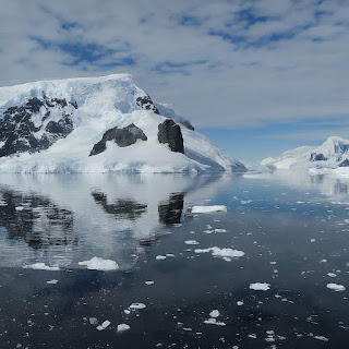
Researchers use historical photos to reconstruct Antarctic glaciers
Historical photos are aiding scientists in reconstructing changes in Antarctic glaciers. Researchers are utilizing images from the early 20th century to map the retreat of glaciers in the region. These photos, taken during expeditions led by explorers like Ernest Shackleton and Robert Falcon Scott, provide crucial visual evidence of glacier dynamics over time. By comparing these historical images with modern satellite data, scientists can track the significant retreat of Antarctic glaciers due to climate change.
This historical imagery offers a unique perspective on environmental changes in Antarctica. Researchers are particularly focused on glaciers along the Antarctic Peninsula, where rapid melting has been observed. The comparative analysis reveals startling rates of glacier shrinkage, highlighting the impact of global warming on polar ice. Insights from these studies not only enhance our understanding of past climatic conditions but also underscore the urgency of addressing climate change to mitigate further glacial loss.
Overall, the study demonstrates the valuable role of historical photography in documenting and understanding Antarctic glacier retreat. By combining old photos with contemporary satellite technology, scientists can quantify the extent of ice loss and its implications for global sea level rise.
Source: Phys.org


